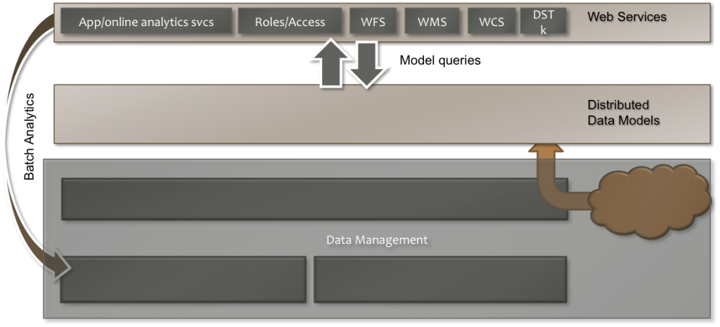
•Expose geodata using standard OGC formats/protocols extended for time, elevation, version.
•Provide server side support for web & mobile applications.
OWS Services
Standard web-services available on all GeoDjango custom models and Geoanalytics standard models.
•All services: include time, version, and elevation extensions.
•WMS – Retrieve and style raster and feature data for presentation.
•Feature-rich stylesheet module for rendering layers, embed analytics into stylesheets.
•Render as PNG, Tiff, or JPEG.
•Includes extension to introspect valid timesteps, elevations, and versions.
•WFS – Retrieve feature data for client-processing or presentation.
•Retrieve data as GML, GeoJSON, or CSV.
•Includes introspection services.
•WCS – Retrieve raster data for client-processing or presentation.
•Retrieve data as GeoTIFF or tarball of geotiffs.
•Includes introspection services.
Custom Application Services
Services that take advantage of specific models and data and provide custom analytics or interfacing.
•Used by SPH to retrieve ranked projects.
•Used by CI-BER to retrieve record metadata.
•Used by Big Board to create mobile web forms and to track session data.
Resources / Roles / Access
•Customize users’ access and view of the data curated by Geoanalytics.
•A Resource is a link, with tag/KVP metadata and a list of associated relevant roles to a model or query set in GA.
•Metadata may include naming information, unit conversions to perform, etc.
•Users are given roles, tags, a home location, KVP metadata, and a list of optional user-specific Resource links and preferences.
•Applications have access to all user metadata and can make informed decisions based on user and model metadata.

